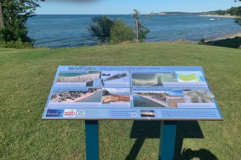
Sodus Point Beach Interpretive Panel. Photo by Bruce Farrington 2021
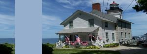
| Located at 7606 North Ontario St. Sodus Point NY GPS Coordinates: Latitude: 43.273599, Longitude: -76.985433 Address: 7606 North Ontario St. Sodus Point NY Description: Located on the Sodus Bay Lighthouse grounds, east of the Bridal Arch overlooking the beach This interpretive panel tells the history of the Sodus Point Beach | |||||
The panel tells the story in 6 sections which you can read in the photos below.
Section 1 – The beach was reclaimed from Lake Ontario over a 60 year time frame
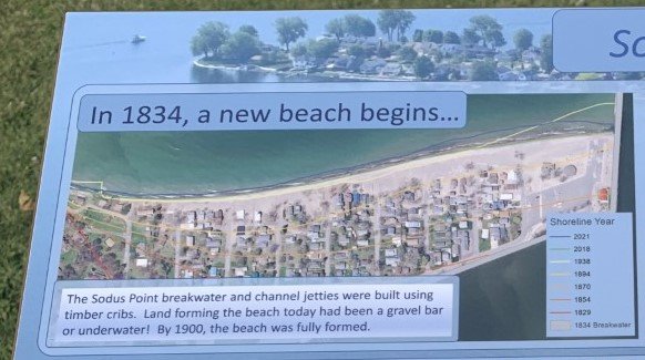
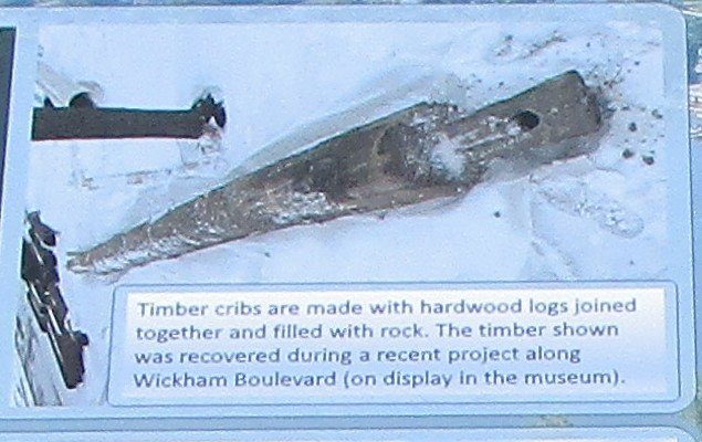
Section 2 – Timber Cribs used
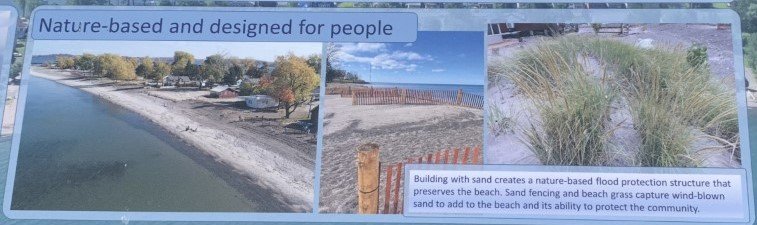
Section 3 – Nature based flood protection
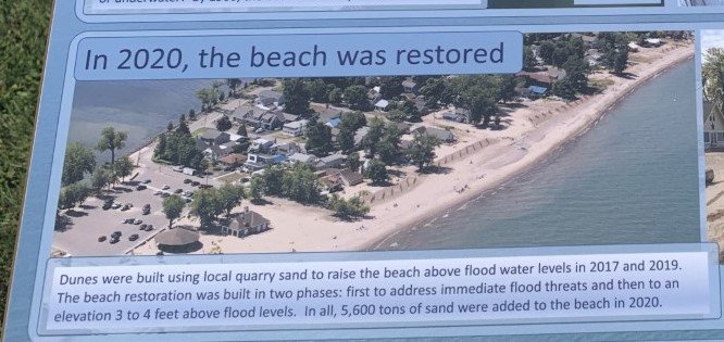
Section 4 – 2020 the beach is restored
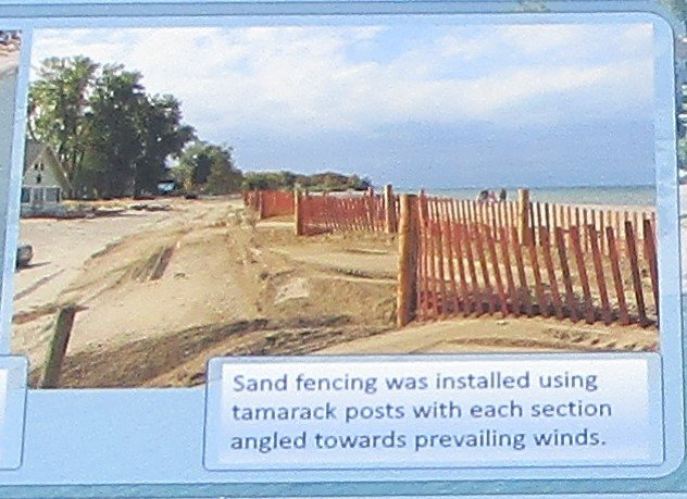
Section 5 – Sand fencing installed
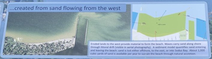
Section 6 – Created from the sand flowing from the west
The Sodus Beach Restoration Project is a cooperative partnership of the village of Sodus Point and Wayne County with funding provided by the New York State Resiliency and Economic Development initiative